
Page 103 - SAMENA Trends - January-February 2023
P. 103
TECHNOLOGY UPDATES SAMENA TRENDS
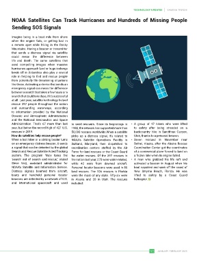
NOAA Satellites Can Track Hurricanes and Hundreds of Missing People
Sending SOS Signals
Imagine being in a boat mile from shore
when the engine fails, or getting lost in
a remote spot while hiking in the Rocky
Mountains. Having a beacon or transmitter
that sends a distress signal via satellite
could mean the difference between
life and death. The same satellites that
send compelling images when massive
hurricanes approach land or huge icebergs
break off in Antarctica also play a crucial
role in helping to find and rescue people
from potentially life-threatening situations
like these. Activating a device that sends an
emergency signal can mean the difference
between a search that takes a few hours or a
search that could take days, if it's successful
at all. Last year, satellite technology helped
rescue 397 people throughout the nation
and surrounding waterways, according
to information provided by the National
Oceanic and Atmospheric Administration
and the National Aeronautics and Space
Administration. That's 67 more than last to send rescuers. Since its beginnings in • A group of 17 hikers who were lifted
year, but below the record high of 421 U.S. 1982, the network has supported more than to safety after being stranded on a
rescues in 2019. 50,000 rescues worldwide.When a satellite backcountry hike in Sandthrax Canyon,
How do satellites help rescue people? picks up a distress signal, it's related to Utah, thanks to a personal beacon.
When a lost hiker or a sinking boater turns NOAA's Satellite Operations Facility in • Seven rescued in November near
on an emergency distress beacon, it sends Suitland, Maryland, then dispatched to Bethel, Alaska, after the Alaska Rescue
a signal that can be detected by the global coordination centers staffed by the Air Coordination Center got the coordinates
Search and Rescue Satellite Aided Tracking Force for land rescues or the Coast Guard of a commercial plane forced to land on
system. The program "truly takes the for water rescues. Of the 397 rescues in a frozen lake when its engine failed.
'search' out of search and rescue," stated the nation last year, 275 were water-related, • A man who grabbed his life raft and
Steve Volz, assistant administrator for while 42 were from downed aircraft. activated a beacon in August when his
NOAA's Satellite and Information Service. Personal locator beacons were used in 80 boat capsized and sank off the coast of
Distress signals beamed from aircraft, land rescues. The 106 rescues in Florida New Smyrna Beach, Florida. He was
boats and handheld personal locator were the most of any state. Fifty-six were lifted to safety by a Coast Guard
beacons are detected by a network of U.S. in Alaska and 20 in Utah. The rescues helicopter.
and international spacecraft and used included:
103 JANUARY-FEBRUARY 2023